Climate Science Digest: April 15, 2025Science Muser NewsDeskApril 15, 2025
Full article
Climate Science Digest: April 15, 2025
Explore the latest insights from top science journals in the Muser Press daily roundup, featuring impactful research on climate change challenges. In brief: Scientists find…
Mapping floodplain types to improve flood prediction and resilienceClimate SourceApril 9, 2025
Full article
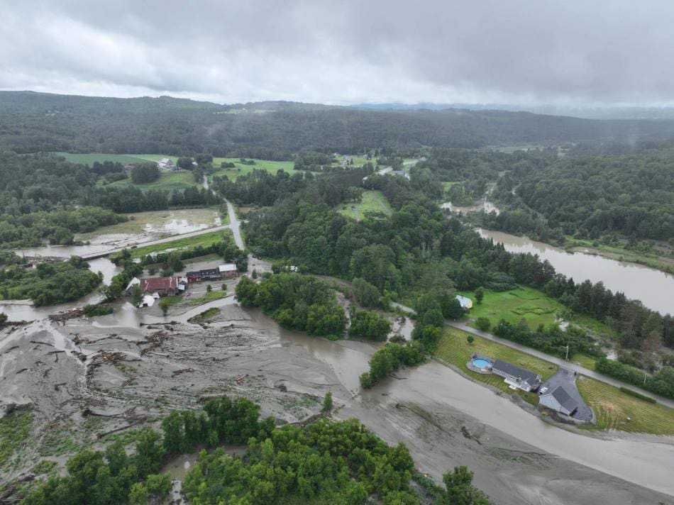
Mapping floodplain types to improve flood prediction and resilience
What if the key to protecting communities from devastating floods lies in the landscape itself? UVM research explores the unique characteristics of floodplains, uncovering how…
Using high-resolution LIDAR images to predict landslides in Brazil’s coastal areasScience Muser NewsDeskNovember 14, 2024
Full article
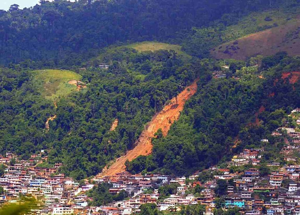
Using high-resolution LIDAR images to predict landslides in Brazil’s coastal areas
Researchers at the University of São Paulo (USP) are pioneering a high-resolution model to assess landslide risks in São Sebastião, a coastal municipality in São…


