Climate Science Digest: April 15, 2025Science Muser NewsDeskApril 15, 2025
Full article
Climate Science Digest: April 15, 2025
Explore the latest insights from top science journals in the Muser Press daily roundup, featuring impactful research on climate change challenges. In brief: Scientists find…
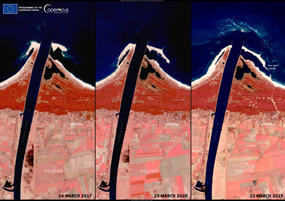
Image of the day: Baltic currents build new shoreline near MikoszewoNews Muser NewsDeskApril 11, 2025
Full article
Image of the day: Baltic currents build new shoreline near Mikoszewo
A new beach has formed along Poland’s northern coast, where the Vistula River empties into the Gulf of Gdańsk. Located near the village of Mikoszewo,…
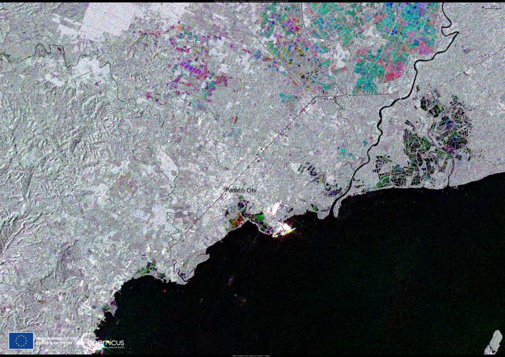
Image of the day: Panabo City, the PhilippinesNews Muser NewsDeskMarch 13, 2025
Full article
Image of the day: Panabo City, the Philippines
The Philippines, one of the most disaster-prone countries in the world, faces increasing risks from environmental pressures, including ground subsidence. This phenomenon, which causes gradual…
Muser Press – New Research Articles Week 10, 2025Science Muser NewsDeskMarch 10, 2025
Full article
Muser Press – New Research Articles Week 10, 2025
Discover the latest articles from leading science journals in the Muser Press weekly roundup, showcasing impactful research published this week. Table of Contents Study warns…
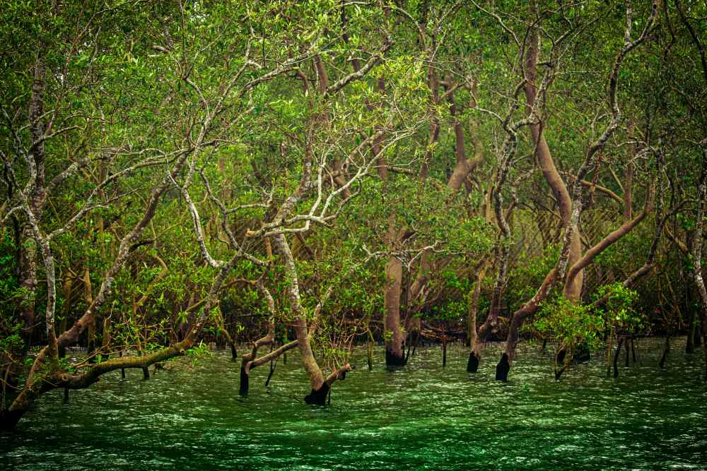
Sustainable development strategies for mangrove communities in the SundarbansClimate SourceFebruary 27, 2025
Full article
Sustainable development strategies for mangrove communities in the Sundarbans
Summary: Researchers make recommendations for promoting sustainable development in mangrove forest areas Summary: The Sundarbans, one of the world’s largest mangrove ecosystems, plays a crucial…
Coastal erosion is sinking Alexandria, and other cities may be nextClimate SourceFebruary 21, 2025
Full article
Coastal erosion is sinking Alexandria, and other cities may be next
Summary USC research on the vanishing coastlines of Alexandria, Egypt, offers nature-based solutions for protecting coastal cities globally, including those in California Summary: The historic…
Climate Science Digest: February 20, 2025Science Muser NewsDeskFebruary 20, 2025
Full article
Climate Science Digest: February 20, 2025
Explore the latest insights from top science journals in the Muser Press daily roundup, featuring impactful research on climate change challenges. In brief: Study reveals…
Three dead as massive waves slam Peru, Ecuador and ChileNews SourceDecember 30, 2024
Full article
Three dead as massive waves slam Peru, Ecuador and Chile
Lima, Peru | AFP - Three deaths have been blamed on large waves up to 13 feet (four meters) pummeling Ecuador, Chile and Peru, where…
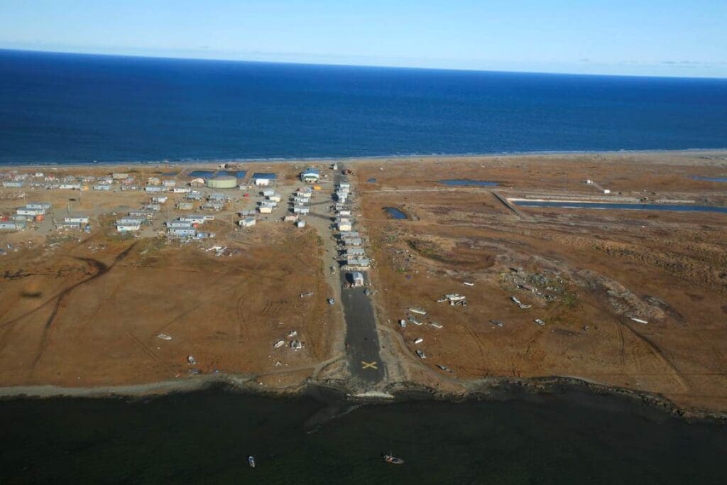
Arctic infrastructure faces climate-driven instability by 2100Climate Muser NewsDeskDecember 17, 2024
Full article
Arctic infrastructure faces climate-driven instability by 2100
Coastal communities and infrastructure across the Arctic are under severe threat from erosion, sea level rise, and permafrost thaw, according to the first comprehensive pan-Arctic…
Mangroves save $855 billion in global flood protection, study findsClimate Muser NewsDeskDecember 6, 2024
Full article
Mangroves save $855 billion in global flood protection, study finds
Mangroves are proving to be indispensable allies in the fight against climate change, providing $855 billion in global flood protection benefits, according to a new…
Rising climate-driven hazards put millions of coastal residents at greater riskClimate SourceNovember 21, 2024
Full article
Rising climate-driven hazards put millions of coastal residents at greater risk
A new study published in Nature Climate Change estimates that a 1-meter sea level rise by 2100 would affect over 14 million people and $1…
Using high-resolution LIDAR images to predict landslides in Brazil’s coastal areasScience Muser NewsDeskNovember 14, 2024
Full article
Using high-resolution LIDAR images to predict landslides in Brazil’s coastal areas
Researchers at the University of São Paulo (USP) are pioneering a high-resolution model to assess landslide risks in São Sebastião, a coastal municipality in São…
Will we be able to continue living by the sea?ClimateNews SourceNovember 11, 2024
Full article
Will we be able to continue living by the sea?
Royal Netherlands Institute for Sea Research - A publication recently launched by leading European Ocean scientists, titled Navigating the Future VI (NFVI), calls attention to…


