Summary:
A newly refined land cover map of Siberia provides more accurate data for climate modeling by addressing inconsistencies in previous datasets. Researchers from Chiba University and Nagoya University in Japan used machine learning techniques to classify Siberia’s diverse landscapes with 85.04% accuracy.
The study, published in Progress in Earth and Planetary Science, highlights the region’s shifting vegetation and permafrost thaw — key factors in global carbon dynamics. By integrating multiple datasets, the research enhances climate data quality, offering a crucial tool for tracking environmental changes in one of the world’s most climate-sensitive regions.

Refining Siberia’s land cover data: A leap forward for climate science
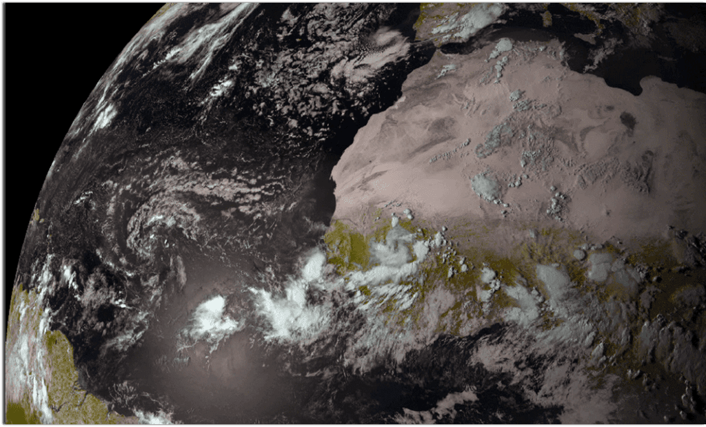
Siberia, a province located in Russia, is a significant geographical region playing a crucial role in the world’s carbon cycle. With its vast forests, wetlands, and permafrost regions (permanently frozen grounds), Siberia stores a considerable amount of carbon on a global scale.
But climate change is rapidly altering Siberia’s landscape, shifting its vegetative distribution and accelerating the permafrost thaw. Classifying land cover is essential to predict future climatic changes, but accumulating land cover data in regions like Siberia is challenging due to the limited availability of ground observation data.
In a step towards advancing climatic studies, a recent study led by Professor Kazuhito Ichii from the Center for Environmental Remote Sensing and Graduate School of Science and Engineering, Chiba University, Japan, unveils a refined land cover map for Siberia. By leveraging multiple sources and applying a random forest classifier (a machine learning algorithm), the team addresses the inconsistencies between existing land cover datasets with a remarkable accuracy of 85.04%.
The study was conducted in collaboration with Nagoya University, Japan, and was published in Volume 12, Issue 3 of the Progress in Earth and Planetary Science.
Prof. Ichii discusses the motivation for this study by saying, “While working for the Pan-Arctic Water-Carbon Cycles project, we were surprised to find major differences among existing land cover datasets, even in the widely used data sets. It was then clear that a more reliable dataset was needed, which led us to carry out this research.”
The researchers started by comparing various global datasets and then used various data points to ensure an accurate land classification. The newly developed map gave a clearer picture of the forests, wetlands, and permafrost areas, which are key elements in climate studies. When compared with the previous datasets, the researchers observed major errors in the previous sets, especially in the high-latitude regions, which could potentially lead to incorrect climate predictions.
Addressing the discrepancies in land classification, the new dataset enabled more accurate assessments of carbon flux and ecosystem changes.
“By focusing on land cover, something previously thought to be well understood, we have created better data for an area that was not well characterized, opening doors for improved climatic predictions,” says Ms. Munseon Beak from the Graduate School of Science and Engineering and Center for Environmental Remote Sensing at Chiba University.
The implications of this study are extensive. By providing a more accurate land cover dataset, the research can enhance climate models with better predictions of environmental changes.
Assistant Professor Yuhei Yamamoto from the Institute of Advanced Academic Research and Center for Environmental Remote Sensing, Chiba University, emphasizes: “By integrating multiple data sources and enhancing classification accuracy, we aim to provide essential insights for climate scientists. This is particularly crucial given the rapid climatic changes occurring in Siberia.”
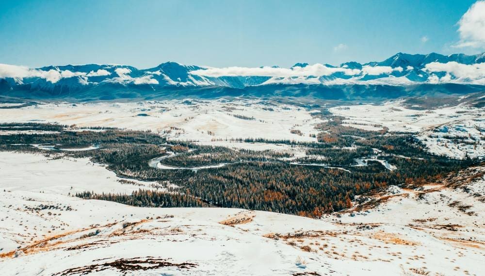
Siberia is greatly affected by climate change, such as global warming, resulting in major changes such as the Siberian Taiga moving northwards and the surface of the earth changing due to the thawing of permafrost. The refined land cover data would, therefore, help scientists monitor these major changes, serving as a foundational tool for predicting and managing these changes in the coming decades. These datasets also support carbon cycle assessments, which are crucial for understanding greenhouse gas dynamics and environmental studies.
Additionally, the study determined the factors that can affect the distribution of vegetation in a particular region. Professor Tetsuya Hiyama from the Institute for Space-Earth Environmental Research, Nagoya University, notes: “We have used geographical distribution analysis across different climates to understand how the distribution of vegetation gets affected. This led us to the fact that precipitation plays a major role in vegetation patterns, especially during warm summer climates.”
Therefore, these datasets could also offer valuable guidance for policymakers. Aiding in sustainable land management and conservation efforts, the findings can contribute to disaster risk management, helping mitigate the impacts of permafrost thaw, wildfires, and habitat loss in the coming years.
***
About Professor Kazuhito Ichii from Chiba University, Japan:
Professor Kazuhito Ichii is a distinguished professor and a skilled researcher specializing in terrestrial biosphere monitoring and modeling. He has more than 90 publications to his credit contributing to the fields of Bio-geoscience, Earth Systems, and Terrestrial Remote Sensing. Throughout his career, he has held notable positions, including Research Scientist at NASA Ames Research Center, Senior Researcher at the Japan Agency for Marine-Earth Science and Technology, and the Chair of AsiaFlux. Currently, he is working as a Professor at Chiba University’s Center for Environmental Remote Sensing (CEReS).
Journal Reference:
Beak, M., Ichii, K., Yamamoto, Y. et al., ‘Land cover classification for Siberia leveraging diverse global land cover datasets’, Progress in Earth and Planetary Science 12, 3 (2025). DOI: 10.1186/s40645-024-00672-5
Article Source:
Press Release/Material by Chiba University
Featured image credit: Mikhail Nilov | Pexels