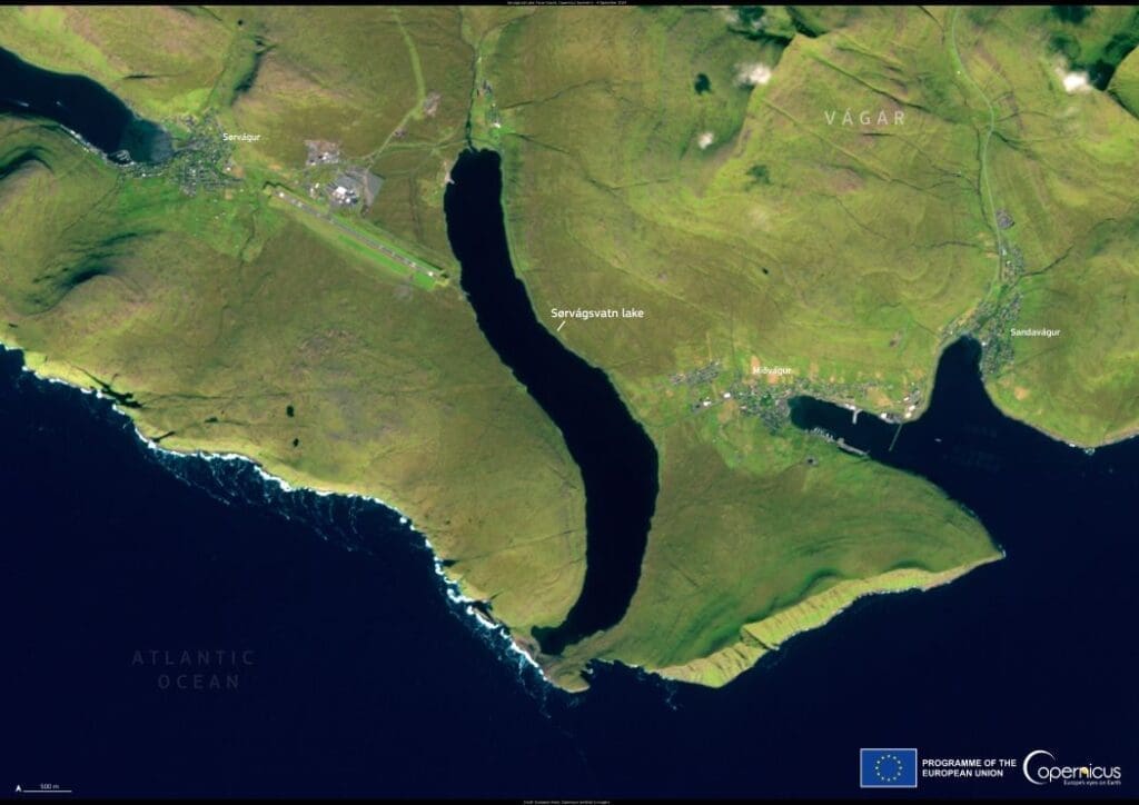
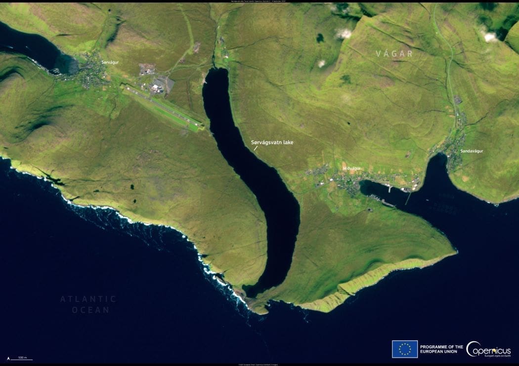
Sørvágsvatn, the largest lake in the Faroe Islands, is captured in this Copernicus Sentinel-2 image from September 4, 2024. Located on the island of Vágar, near the village of Sørvágur, the lake spans approximately 3.4 square kilometers. While its actual elevation is around 30 meters above sea level, a striking optical illusion makes it appear as though the lake is dramatically suspended high above the ocean.

This illusion, best seen from the cliffs of Trælanípa, is created by the steep coastal terrain and the perspective from which the scene is viewed. The lake’s waters ultimately drain into the North Atlantic via the Bøsdalafossur waterfall. This natural phenomenon has made Sørvágsvatn, also known as Leitisvatn, a popular subject for photographers and a major attraction for visitors to the Faroe Islands.
Beyond its visual spectacle, Sørvágsvatn holds ecological importance. The Copernicus Sentinel satellites provide valuable data on land cover changes, soil erosion, and habitat shifts in the region. This information helps guide conservation efforts and sustainable tourism initiatives, ensuring that the lake’s pristine landscape is preserved for future generations.
Featured image credit: European Union, Copernicus Sentinel-2 imagery


