On 24 January 2025, Storm Éowyn struck Ireland, marking one of the most severe storms to hit the region in recent years. With winds exceeding 180 km/h, the storm left over 725,000 homes without power, forced the closure of schools, offices, and airports, and severely disrupted transport services.
Coastal areas endured the greatest impact, as authorities issued red weather alerts, urging residents to stay indoors to avoid the dangers posed by falling trees and flying debris.

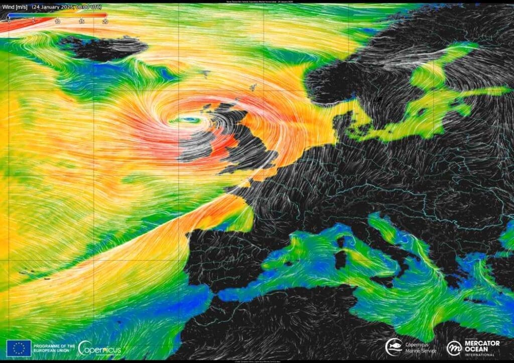
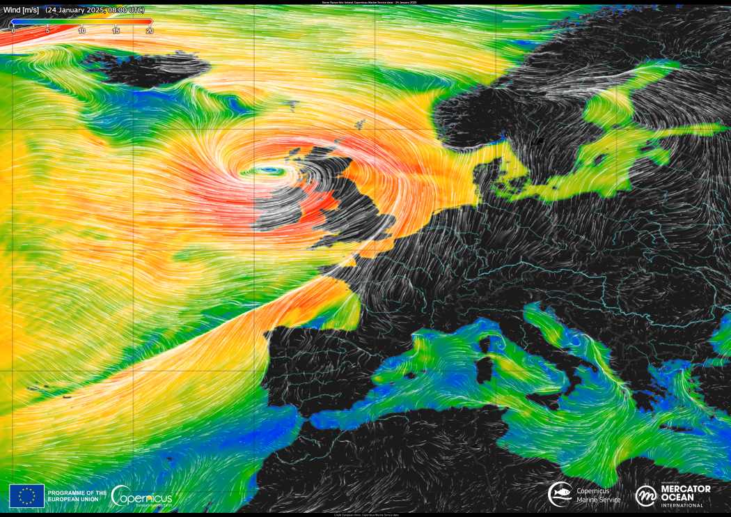
This striking data visualization showcases wind patterns over the Atlantic Ocean at 08:00 UTC on 24 January 2025, as Storm Éowyn swept across Ireland. The image was created using data provided by the Copernicus Marine Service, illustrating the storm’s intensity in vivid detail.
Thanks to open-access data from the Copernicus Sentinel satellites, meteorologists and scientists can closely monitor extreme weather events like Storm Éowyn. This enhanced monitoring capacity supports better preparedness and response measures, ultimately reducing the impacts on affected communities.
Featured image credit: European Union, Copernicus Marine Service Data


