As of 13 January 2025, three major wildfires have devastated Los Angeles, California, since igniting on 7 January. Strong winds continue to fuel the flames, making these fires some of the most destructive in the city’s history, with at least 24 confirmed fatalities.
The largest fire, centered in the Palisades neighborhood, has consumed over 9,000 hectares and destroyed approximately 5,300 structures. Across Los Angeles, over 12,000 structures have been lost to the fires, with 105,000 residents under evacuation orders and an additional 87,000 facing warnings to prepare for evacuation.

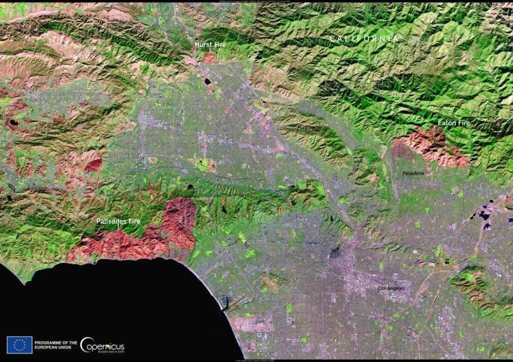
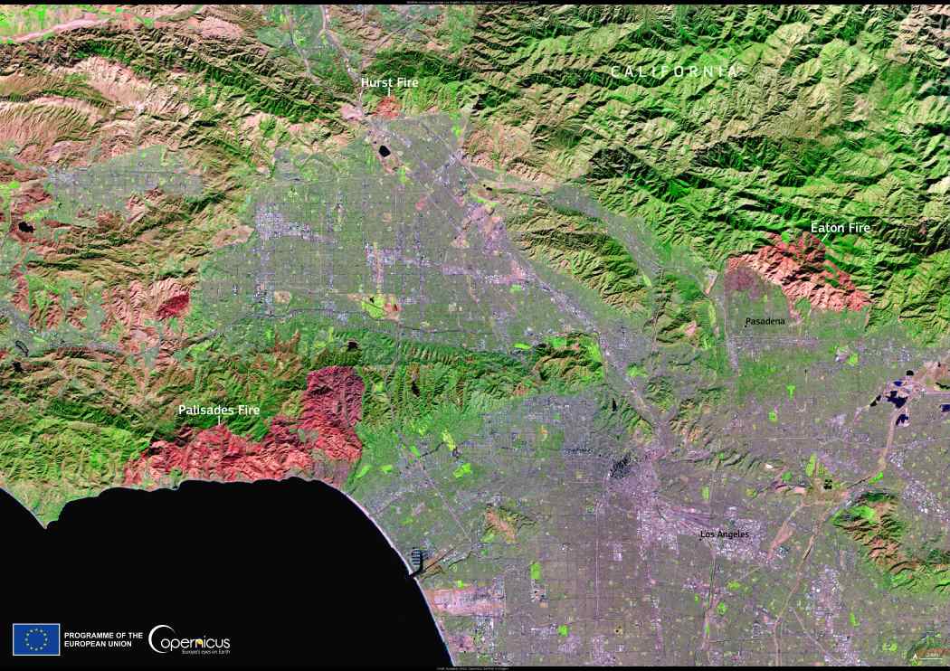
This image, captured by the Copernicus Sentinel-2 satellite on 12 January 2025, highlights the extensive burn scars left by the three wildfires.
Data from Copernicus Sentinel satellites play a vital role in monitoring wildfires worldwide. By providing open access to high-resolution imagery, these satellites help assess the impacts on affected communities and support emergency response efforts.
Featured image credit: European Union, Copernicus Sentinel-2 imagery


