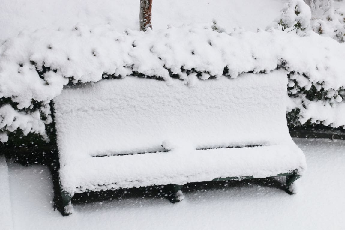
By Michael Mathes | Washington, United States | AFP (Updated) – A powerful winter storm hammered the United States on Sunday, with meteorologists warning millions in the east faced blizzard conditions and some areas would see the heaviest snowfall in a decade.
More than 60 million people are in the path of the dangerous storm, set to plunge the eastern half of the United States into a deep freeze of Arctic air through Monday resulting in severe travel disruptions.
The National Weather Service (NWS) warned of ice, snow and gale-force winds in states from the Central Plains to the Mid-Atlantic.
Winter storm warnings have been issued from western Kansas clear across to the coastal states of Maryland, Delaware and Virginia, an unusually broad 1,500-mile (2,400-kilometer) swath under immediate threat.
“Disruptive winter storm to impact the Central Plains to the Mid-Atlantic through Monday with widespread heavy snow and damaging ice accumulations,” the NWS warned earlier.
In its latest report early Sunday the agency’s Weather Prediction Center said the storm will produce heavy snowfall and wind gusts exceeding 40 mph (64 kph) in parts of Kansas and Missouri.
The snowfall amounts will exceed 15 inches (38 centimeters) “the heaviest in a decade”, the agency said.
Scientists say extreme weather is becoming more common and more severe as a result of manmade climate change.
– Travel disruptions –
The first major storm of 2025 was already wreaking havoc on travel, with Kansas City International Airport announcing closure of its flight operations Saturday “due to rapid ice accumulation.”
Flight operations resumed later after airfield runways and taxiways were treated, Kansas City mayor Quinton Lucas said in a social media post.
Parts of the eastern states of New York and Pennsylvania are facing “heavy lake-effect snow” coming off the Great Lakes that could dump as much as two feet (61 cm) there, according to the NWS.
Forecast company AccuWeather said Saturday that the lake-effect snow total in the region, already blanketed in snow this week, could top four feet.
A blizzard will rage across the Central Plains by early Sunday, and “whiteout conditions will make travel extremely hazardous, with impassable roads and a high risk of motorists becoming stranded,” the NWS said.
The US capital Washington could be blanketed in five inches or more of snow, with up to 10 inches possible in nearby areas.
With the jet stream diving southward, temperatures are expected to plunge, in some places to below zero degrees Fahrenheit (-18 degrees Celsius), while strong wind gusts will compound the dangers.
The mercury could sink tens of degrees below seasonal norms down to the US Gulf Coast. Before then, severe thunderstorms are expected across the lower Mississippi Valley, the NWS forecast.
Another major concern is freezing rain and sleet expected from Kansas eastward to Kentucky and Virginia, setting the stage for thick ice to coat roads, making travel hazardous, bringing down trees and electricity lines, and potentially leaving millions of customers without power during a cold snap.
The NWS warned that it expected widespread tree damage and “long-lasting power outages” from Kansas to the central Appalachian Mountains.
Conditions could prove especially perilous in the Appalachians, where a deadly hurricane in late September devastated communities and ravaged multiple southeastern states including Kentucky.
Many of those communities are still recovering from the effects of that hurricane.
The new storm “will likely cause significant disruption and dangerous conditions on our roads and could cause significant power outages just 24 hours or so before it’s going to get really cold in Kentucky,” Governor Andy Beshear told an emergency meeting.
The governors of Kentucky, Missouri and Virginia have declared a state of emergency in their states, and they took to social media to warn residents to expect hazardous weather this weekend.
mlm/aha/sn/mtp
© Agence France-Presse
Featured image credit: wirestock | Freepik


