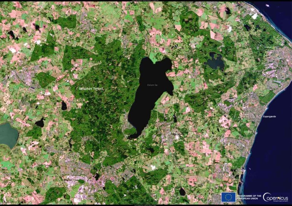
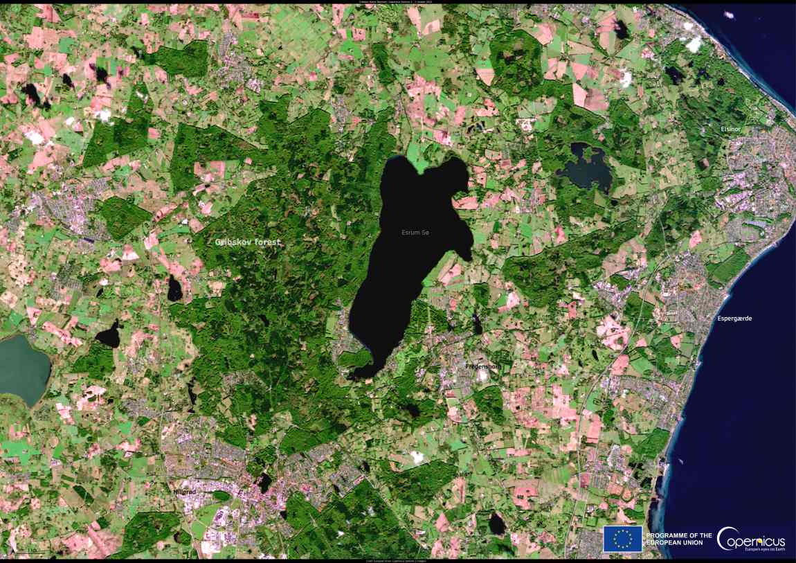
This satellite image, captured on 2 October 2024 by the Copernicus Sentinel-2 satellites, shows Gribskov, Denmark’s fourth-largest forest, and the nearby Lake Esrum.
Covering more than 5,500 hectares, Gribskov is a key natural area with diverse ecosystems, including lakes, bogs, and meadows. It supports a range of species, such as the osprey, sea eagle, and fallow deer.
As a Natura 2000 site, Gribskov is protected through active conservation measures aimed at preserving its unique habitats. This satellite imagery serves not only as a tool for environmental monitoring but also highlights the critical role of technology in safeguarding ecosystems around the globe.

Open data from the Copernicus Sentinel satellites offers valuable insights into how these ecosystems are evolving, aiding conservation efforts to ensure the protection of their wildlife and delicate environmental features.
Gribskov, with its intricate network of natural spaces, is a testament to the power of both nature and technology in preserving our planet’s most precious habitats.
Featured image credit: European Union, Copernicus Sentinel-2 imagery


