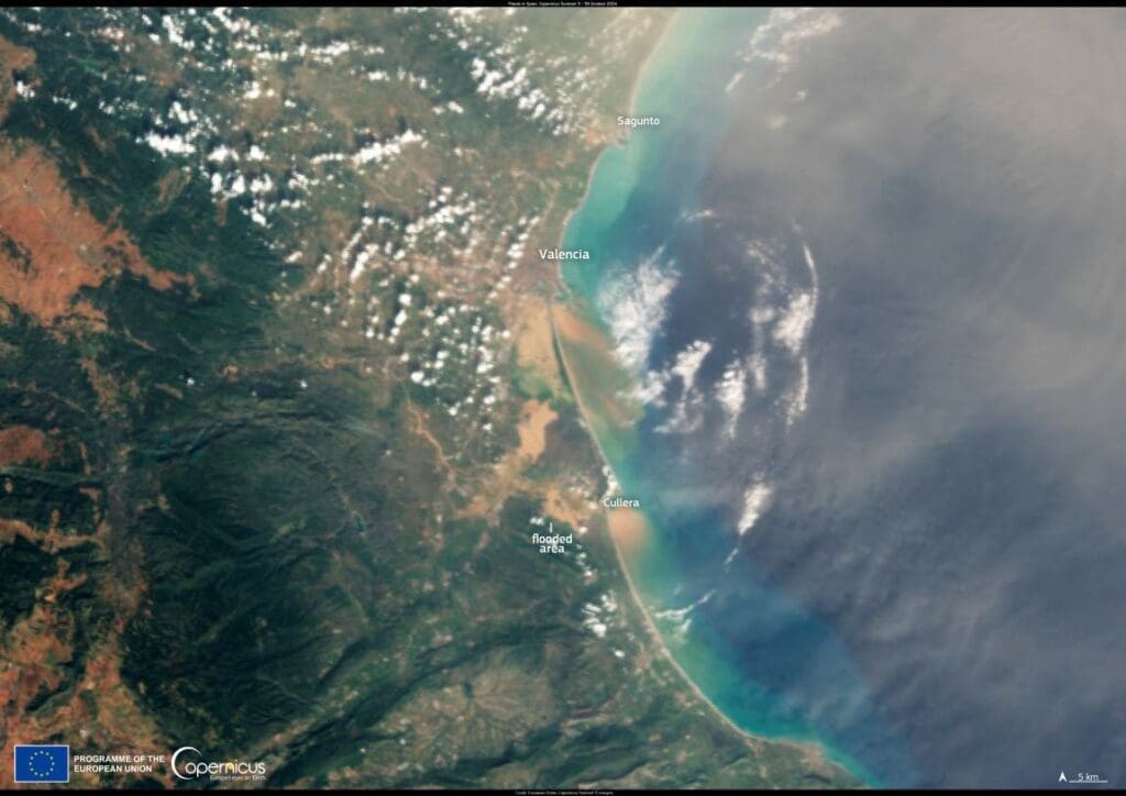
This data visualisation compares two Copernicus Sentinel-2 satellite acquisitions over the area south of Valencia, Spain, captured on 26 and 31 October 2024, before and after the devastating floods which hit the area during the evening of 29 October.
On 26 October, the area appears well delineated, with clear separations between densely populated areas, agricultural plots, and roads. The built-up areas are characterised by red roofs and roads, while the agricultural areas display different shades of green, indicating the presence of various types of crops.

After the flooding, the latest image, acquired on 31 October, shows evidence of significant damage. Many of the previously green areas are now covered with mud and debris, resulting in a predominance of brown and ochre colours. This change of colour provides evidence of the extensive flooding which has affected fields and infrastructure. There is also an increased presence of turbid waters in watercourses and extensive flooded areas.
The Copernicus Emergency Management Service is working to provide mapping products to support the emergency response to the floods in the Comunitat Valenciana. More information is available here.
Featured image credit: European Union, Copernicus Sentinel-2 imagery