As global temperatures rise to record highs, the pressure to curb greenhouse gas emissions has intensified. Methane is particularly targeted because its significant global-warming potential in the short term exceeds carbon dioxide by over 80-fold.
However, monitoring methane emissions and compiling their quantities have been challenging due to limiting trade-offs with existing detection methods.
Now, a research team including Kyoto University and Geolabe, USA has developed a method to automatically detect methane emissions at a global scale. The work is published in the journal Nature Communications.
“Our approach can potentially provide methane detection at high frequency and high resolution from point sources, paving the way for a systematic quantification method,” says lead author Bertrand Rouet-Leduc of KyotoU’s Disaster Prevention Research Institute and Geolabe.
Rouet-Leduc further suggests that their method may help prioritize and automatically validate atmospheric mitigation of methane, which currently accounts for approximately one third of global warming.
Multispectral satellite data has emerged as a viable methane detection tool in recent years, enabling routine measurements of methane plumes at a global scale every few days. However, significant noise plagues these methane data, and until now, detections have been limited to very large emissions and have required human verification.
In contrast, the team has trained an AI to automatically detect methane leaks over 200 kg/h, accounting for over 85% of the methane emissions in well-studied, large oil and gas basins.
“With satellite measurements, trade-offs must be made between spatial coverage, spatial and temporal resolution, and spectral resolution and associated detection accuracy. AI partially offsets these trade-offs,” explains co-author Claudia Hulbert, also of Geolabe.
Methane plumes are invisible and odorless, so they are typically detected with specialized equipment such as infrared cameras. The difficulty in finding these leaks from space goes without saying, akin to finding a needle in a haystack. Leaks are distributed around the globe, and most of the methane plumes are relatively small, making them easy to miss in satellite data.
The group’s collaborative work represents a key step towards the precise, systematic monitoring of methane emissions, anywhere on Earth, every few days.
“Automation is paramount when analyzing large areas. We were surprised that AI can automate the process and dramatically outperform the human eye in detecting small methane plumes,” reflects Rouet-Leduc.
“In our next phase, we plan to integrate additional satellites in a global study of methane emissions.”
Journal Reference:
Rouet-Leduc, B., Hulbert, C., ‘Automatic detection of methane emissions in multispectral satellite imagery using a vision transformer’, Nature Communications 15, 3801 (2024). DOI: 10.1038/s41467-024-47754-y
Article Source:
Press Release/Material by Kyoto University
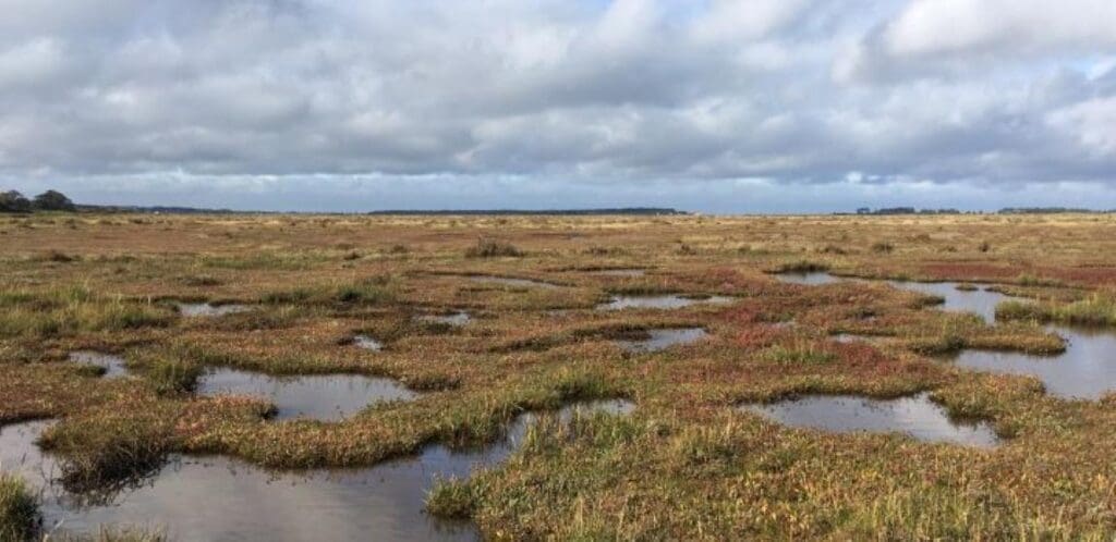
Featured image: Methane plume emitting from oil and gas facility. AI to automatically detect global methane emissions in satellite imagery. Credit: Bertrand Rouet-Leduc | Kyoto University