Summary:
South Africa is gradually lifting out of the ocean — and it’s not due to deep Earth processes, as previously thought. A new study led by researchers at the University of Bonn finds that widespread drought and water loss are the main drivers behind the country’s unexpected land uplift.
The research, published in the Journal of Geophysical Research: Solid Earth, shows that between 2012 and 2020, South Africa rose by an average of six millimeters, with some regions lifting by as much as two millimeters per year.
Using data from the country’s network of permanent GPS stations, the team tracked vertical land movement with millimeter precision. While earlier theories suggested mantle dynamics as the cause, the new analysis links the uplift instead to a decrease in water mass. Satellite data from the GRACE mission and hydrological models reinforced the finding: areas with the greatest drought intensity corresponded closely to where the land rose the most.
According to lead author Dr. Makan Karegar, the effect works like a compressed foam ball that expands when pressure is released — in this case, when groundwater and surface water disappear. The method offers a new, cost-effective way to monitor drought impacts and groundwater depletion more precisely than ever before.

Climate change is lifting South Africa out of the ocean
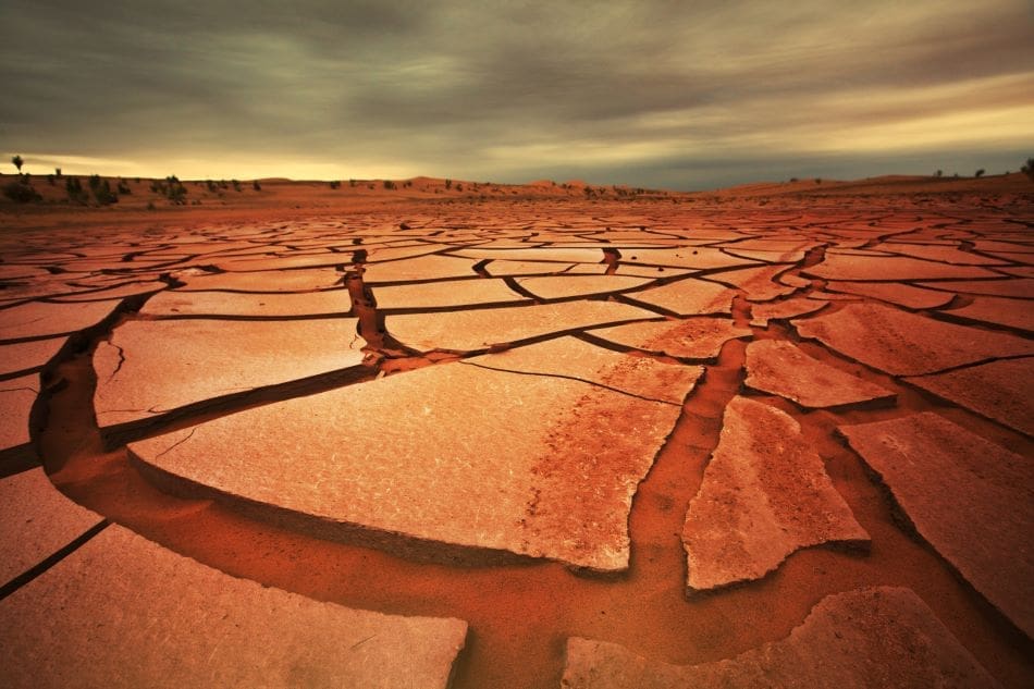
South Africa is slowly lifting out of the water – by up to two millimeters per year depending on the region. It had been assumed up to now that this phenomenon was due to mantle flow in the Earth’s crust. However, a study carried out by the University of Bonn now provides another explanation: Droughts and the associated water loss are the main reason for this land uplift.
The fact that South Africa is rising has been known for a number of years because the country has a network of permanent GPS receivers. Their horizontal position and also their height can be precisely determined to the millimeter using satellite data. “This data showed an average rise of six millimeters between 2012 and 2020,” explains Dr. Makan Karegar from the Institute of Geodesy and Geoinformation at the University of Bonn, who is a member of the transdisciplinary research area “Sustainable Futures”.

Many researchers suspected up to now that this was due to geodynamic phenomenon and assumed that there was a so-called plume – a huge tube-like structure that transports hot material to the surface from deeper layers – under the Earth’s mantle in this subcontinent. According to this theory, the rising mass could cause the Earth’s crust to bulge and this would explain the change in height.
“However, we have now tested another hypothesis,” says Karegar: “We believe that it also possible that a loss of groundwater and surface water is responsible for the land uplift.”
Uplift during droughts
Working together with Christian Mielke, Dr. Helena Gerdener and Prof. Dr. Jürgen Kusche from the Institute of Geodesy and Geoinformation, Karegar investigated this theory in the recently published paper. During their research, the team examined, among other things, precipitation patterns across the different regions of South Africa and stumbled on some clear parallels in the data: Areas that had suffered severe droughts experienced a particularly pronounced land uplift.
The geodesists also compared these results with data from the GRACE satellite mission. The measurement equipment in the GRACE satellites regularly measured any change in gravitational forces in the regions they had just flown over from orbit.
“These results can be used to calculate, among other things, the change in the total mass of the water storage including sum of surface water, soil moisture and ground water,” explains Christian Mielke. “However, these measurements only have a low spatial resolution of several hundred kilometers.”
Satellite data supports the drought hypothesis
It is possible to split South Africa into large planning zones based on the GRACE data and then calculate average values for each zone. Although the satellites only provide a rough picture of the water distribution, they also clearly showed that the lower the mass of water in a planning zone, the higher the uplift at the GPS stations in that zone. Hydrological models also supported the hypothesis. These models can show on a computer the influence that droughts have on the water cycle at a very high resolution (in contrast to the GRACE data).
“This data also showed that the land uplift could primarily be explained by drought and the associated loss of water mass,” says Mielke.
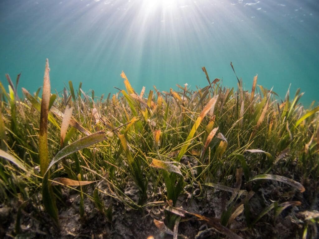
If land masses dry out, the Earth bulges in these locations, similar to a foam ball that was previously held under pressure (although in the case of the land, the pressure was exerted by water). This effect can be used to record the extent of a drought more precisely than ever before – using a method that is comparatively inexpensive and requires less effort. This is especially important because a large proportion of the water reserves are stored underneath the Earth’s surface. People have long been extracting this groundwater via wells for use as drinking water, to water their plants and also for industrial processes.
The permanent GPS receivers can now be used to understand the extent to which these reserves have already been depleted. If needed, this information could be used to decide when it is time to start rationing this valuable resource. This problem is expected to become more serious in future due to climate change and the resulting change in precipitation patterns. Incidentally, South Africa also acts as a good example here. The country suffered from a devastating drought between 2015 and 2019 when the City of Cape Town lived under the imminent threat of “day zero” – a day completely without water.
***
The study was funded by the German Research Foundation (DFG) within the framework of the Collaborative Research Centre SFB 1502/1-2022 (project number: 450058266), research group 2736 NEROGRAV (funding reference number: KU1207/29) and research group 2630 GlobalCDA (funding reference number: KU1207/26).
Journal Reference:
Christian A. Mielke, Makan A. Karegar, Helena Gerdener and Jürgen Kusche, ‘GNSS observations of the land uplift in South Africa: Implications for water mass loss’, Journal of Geophysical Research: Solid Earth 130, 4: e2024JB030350 (2025). DOI: 10.1029/2024JB030350
Article Source:
Press Release/Material by University of Bonn
Featured image credit: kamchatka | Freeepik