In early February 2025, global sea ice reached an all-time low, with Arctic and Antarctic ice covering just 15.76 million square kilometers. While Arctic ice has been shrinking for decades, Antarctic ice, once considered stable, has now entered a period of persistent decline.
Satellite data from the U.S. National Snow and Ice Data Center (NSIDC) confirms that the five-day average extent of global sea ice leading up to 13 February set a new record low, breaking the previous mark from early 2023. Arctic sea ice is currently at its smallest extent ever recorded for this time of year, while Antarctic sea ice is close to a new record low in satellite observations dating back to the late 1970s.

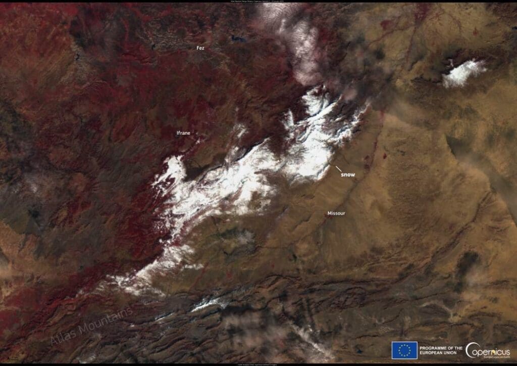
This Copernicus Sentinel-3 image, acquired on 15 February 2025, captures the Bering Sea off the coast of Alaska, USA. Since the start of the year, sea ice in the region has been lower than in previous years.
Warmer ocean waters, high air temperatures, and shifting winds have contributed to the decline. Arctic sea ice, which usually grows in winter, has struggled to expand, with some areas — such as Hudson Bay — freezing later than usual due to lingering warm waters. Meanwhile, the Antarctic has experienced extreme surface melting on its ice shelves, influenced by unusually high summer temperatures.
The changes in sea ice not only impact regional ecosystems but also affect global climate patterns. Ice plays a crucial role in reflecting sunlight, and its loss accelerates ocean warming. The Copernicus Sentinel satellites provide critical data on these trends, helping researchers monitor the evolving state of Earth’s frozen regions.
Featured image credit: European Union, Copernicus Sentinel-3 imagery