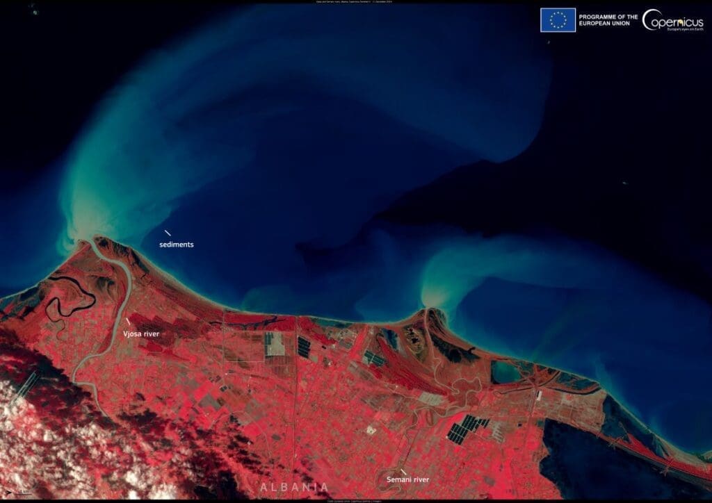
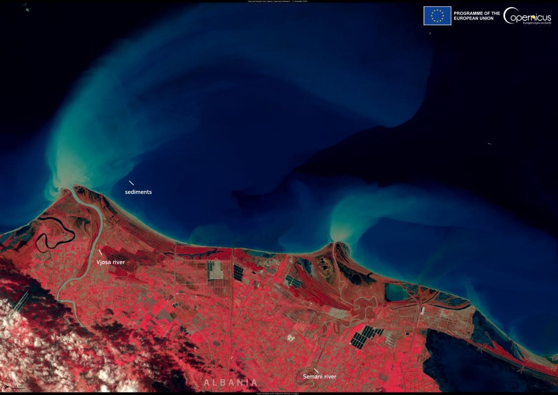
On 11 December 2024, the newly launched Copernicus Sentinel-2C satellite captured a striking image of the Adriatic Sea, revealing the discharge of sediments into the waters from the Vjosa and Semani rivers along the west coast of Albania. This data, part of the ongoing calibration process of the satellite, contributes to a more refined understanding of Earth’s ecosystems and coastal dynamics.
Since its launch on 4 September 2024, Sentinel-2C has been orbiting Earth, gathering critical environmental data. This image is part of the preliminary dataset made available to the public in mid-December 2024, through the Copernicus Data Space Ecosystem. The data offers new insights into the health of our ecosystems and the impacts of natural processes such as sediment transport.

The Copernicus Sentinel-2C mission aims to provide detailed, high-resolution imagery for monitoring changes to Earth’s surface, with a focus on land and coastal areas. The launch of Sentinel-2C enhances the ability to monitor environmental changes, track deforestation, urban expansion, and the health of marine ecosystems. As the satellite continues to provide fresh data, it promises to be an invaluable tool in environmental monitoring.
For more information about the Copernicus Sentinel-2C satellite, visit the Copernicus website.
Featured image credit: European Union, Copernicus Sentinel-2 imagery


