The Seine River, flowing gracefully through the French landscape, has been a vital artery for tens of thousands of years. Originating in the Burgundy region, the river courses nearly 200 kilometers, passing through Paris and Rouen, before joining the English Channel. Its cultural and economic importance is intertwined with the development of France itself.
The Seine’s role extends beyond leisure, serving as a hub for industrial and recreational port activities. In addition to supporting local economies, the river reflects ongoing challenges posed by urban expansion and climate change. As rising temperatures and shifting weather patterns affect water levels and ecosystems, monitoring the Seine is crucial for planning and sustainability.

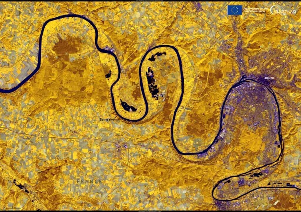
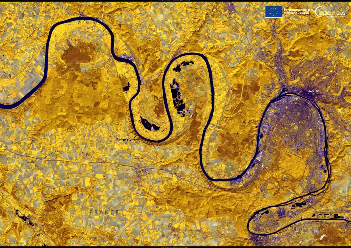
This false-color image, captured by the Copernicus Sentinel-2 satellite on September 19, 2024, reveals a section of the Seine as it winds through the historic city of Rouen. The image highlights the vibrant dynamics of the river, where urban life and natural ecosystems meet. Rouen, Normandy’s capital, is a focal point of rejuvenation efforts. Along the Seine’s quaysides, parks, gardens, and restaurants are transforming the riverbanks into accessible spaces for recreation and community engagement.
The Sentinel-2 mission, part of the Copernicus program, provides comprehensive Earth Observation data, enabling cities like Rouen to integrate environmental management into urban planning. These insights help decision-makers anticipate and mitigate the effects of climate change, ensuring the Seine continues to sustain both its ecological and societal roles.
By observing the Seine from space, we gain not only a clearer picture of its current state but also the knowledge needed to protect its legacy for future generations.
Featured image credit: European Union, Copernicus Sentinel-2 imagery


