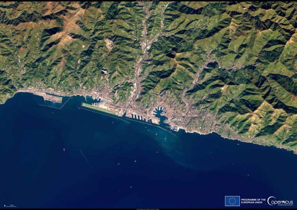
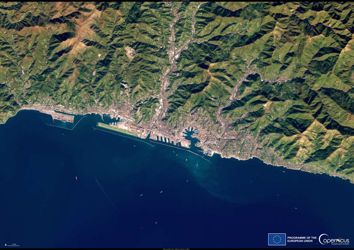
The Copernicus Sentinel-2 satellite captures Genoa from above, revealing the intricate relationship between this historic Italian city and its surrounding natural environment. Located on the Ligurian Sea, Genoa’s compact urban sprawl hugs the coastline, framed by steep mountains and rugged terrain. This geographic isolation shaped the city’s development, fostering its rise as a key maritime and commercial power in history.
For centuries, Genoa was a dominant force in Mediterranean trade, known for its vast fleets and strategic port. Its narrow, winding streets, known as caruggi, wind through a labyrinth of buildings, reflecting its medieval past as one of the great maritime republics. Today, these streets are a hallmark of Genoa’s unique identity, blending modernity with history.

The Copernicus Sentinel-2 image, captured on November 1, 2024, showcases this city’s striking topography and the adjoining Ligurian coastline. It also highlights the challenges that modern Genoa faces in adapting to climate impacts on coastal zones. Rising sea levels, extreme weather, and coastal erosion are issues of increasing concern for such cities, particularly those with a high dependency on port activities.
The Copernicus Coastal Hub plays a vital role in supporting efforts to sustainably manage European coastal zones. By providing Earth observation data, this initiative equips researchers and policymakers with the insights needed to address ecological threats and urban resilience. In Genoa, such tools could help preserve its rich cultural heritage and economic vitality amid growing environmental pressures.
This view of Genoa reminds us of the intricate connection between nature and human ingenuity, showcasing a city that has long adapted to its rugged landscape while remaining a vital part of Europe’s maritime legacy.
Featured image credit: European Union, Copernicus Sentinel-2 imagery


