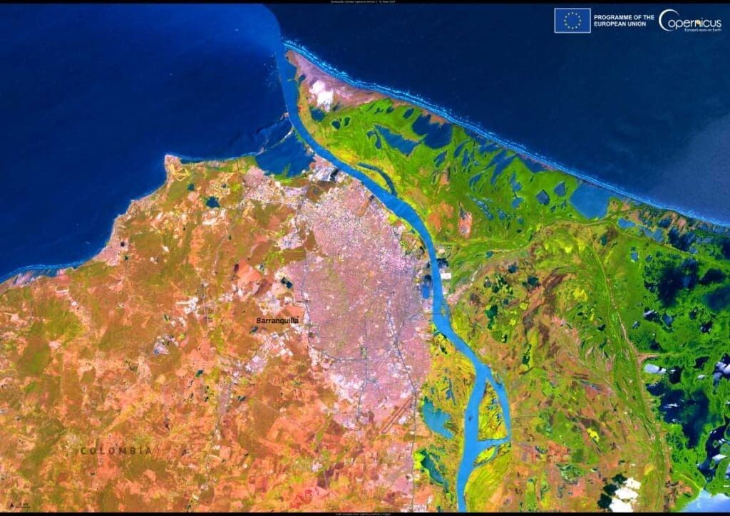
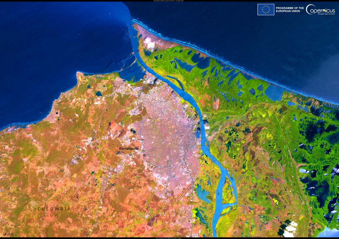
Barranquilla, Colombia’s fourth-largest city, is a vital nexus of commerce and culture, situated along the western bank of the Magdalena River where it flows into the Caribbean Sea.
Often referred to as the ‘Golden Gate’ of Colombia, the city serves as a major hub for trade, linking Colombia’s interior regions to global markets. Barranquilla’s strategic position also makes it a gateway to diverse coastal ecosystems, underscoring its environmental importance alongside its economic role.
Each year, the Carnival de Barranquilla brings the city alive, showcasing a vibrant blend of music, dance, and traditions from across cultures. Recognized as an Intangible Cultural Heritage of Humanity by UNESCO, the event reflects the richness of Colombia’s cultural heritage.

The image, captured by the Copernicus Sentinel-2 satellite on March 31, 2024, provides a detailed view of Barranquilla’s urban expanse, bordered by the shimmering waters of the Caribbean and the lush green surroundings of the Magdalena River. Such imagery is critical for understanding the interplay between urban development and coastal ecosystems, which are increasingly affected by climate change.
The Copernicus Sentinel satellite network plays an essential role in monitoring coastal zones worldwide. For regions like Barranquilla, these observations allow researchers and authorities to assess the impacts of rising sea levels, urban expansion, and ecosystem shifts. The data supports the development of strategies to mitigate climate risks, protecting both the city’s natural and cultural assets.
Featured image credit: European Union, Copernicus Sentinel-2 imagery


