The Franklin Fire, which erupted in Malibu, California, on 9 December 2024, has left a trail of destruction and forced the evacuation of 6,300 residents. This wildfire, one of the most intense the region has seen recently, has already consumed multiple structures and led to widespread disruption, including school closures.
Despite the efforts of nearly 2,000 firefighters, containment remains limited at only 7% as of 11 December.

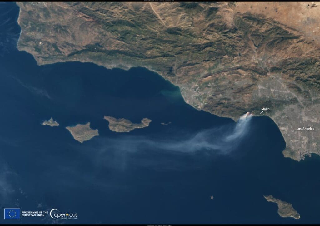
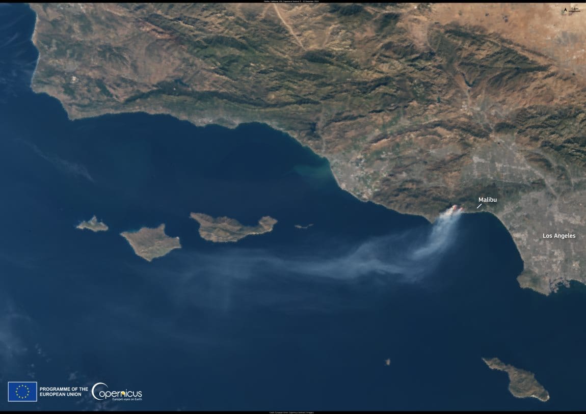
Captured by the Copernicus Sentinel-3 satellite on 10 December, this image vividly illustrates the scale of the blaze. The photograph reveals a dense plume of smoke extending over 130 kilometers westward from the Malibu coastline, a stark visual testament to the fire’s intensity. In a single day, the burn area expanded by an alarming 243 hectares.
Data provided by the Copernicus Sentinel program enables detailed mapping of fire damage and supports emergency response teams in managing resources effectively. With wildfires becoming more frequent and severe due to climate change, tools like Sentinel satellites are indispensable in adapting to and mitigating these disasters.
Featured image credit: European Union, Copernicus Sentinel-2 imagery


