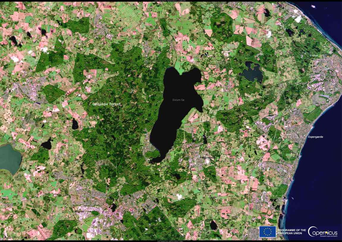
This satellite image, captured on 2 October 2024 by the Copernicus Sentinel-2 satellites, shows Gribskov, Denmark’s fourth-largest forest, and the nearby Lake Esrum.

Covering more than 5,500 hectares, Gribskov is a key natural area with diverse ecosystems, including lakes, bogs, and meadows. It supports a range of species, such as the osprey, sea eagle, and fallow deer.

As a Natura 2000 site, Gribskov is protected through active conservation measures aimed at preserving its unique habitats. This satellite imagery serves not only as a tool for environmental monitoring but also highlights the critical role of technology in safeguarding ecosystems around the globe.
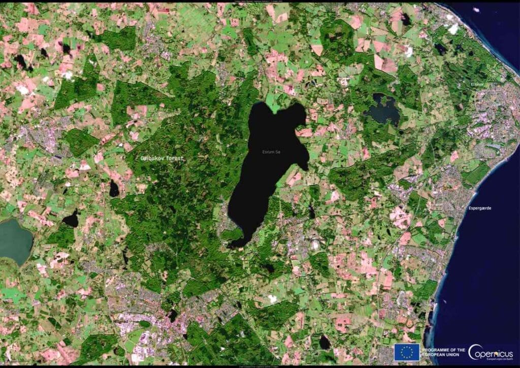
Gribskov Forest Denmark res
Denmark. Credit: European Union, Copernicus Sentinel-2 imagery

Open data from the Copernicus Sentinel satellites offers valuable insights into how these ecosystems are evolving, aiding conservation efforts to ensure the protection of their wildlife and delicate environmental features.

Gribskov, with its intricate network of natural spaces, is a testament to the power of both nature and technology in preserving our planet’s most precious habitats.

Featured image credit: European Union, Copernicus Sentinel-2 imagery

Image: Solar panels on the roof
Tufts University joins pioneering collaboration to advance campus decarbonizationNews

Tufts University joins pioneering collaboration to advance campus decarbonization

Tufts University - Consortium for Climate Solutions expands renewable energy generation and reduces Tufts’ carbon emissions. Tufts University marked a milestone on its path to…
SourceSourceNovember 22, 2024 Full article
Image: Windmills, Clouds
Banks put more money into fossil fuels than clean energy, reportNews

Banks put more money into fossil fuels than clean energy, report

Reclaim Finance | Muser NewsDesk Global banks are continuing to pour far more money into fossil fuels than into clean energy, despite their public commitments…
Muser NewsDeskMuser NewsDeskSeptember 23, 2025 Full article
Image: collage of photographies
How satellite images help to protect forestsNews

How satellite images help to protect forests

Earth seen from space: ETH spin-off askEarth facilitates access to satellite images for environmental and climate monitoring. It supports businesses in combatting deforestation. Making satellite…
SourceSourceJuly 19, 2024 Full article