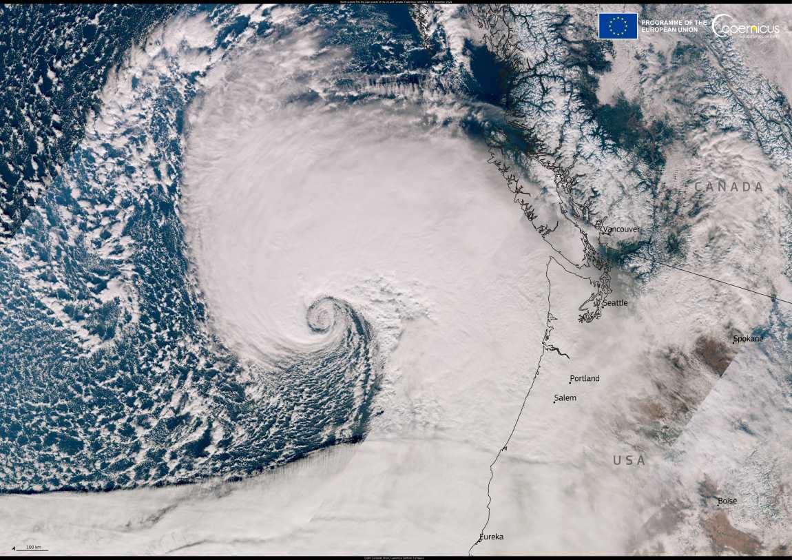
A powerful storm struck the Pacific Northwest region of the United States and British Columbia, Canada, on 19 November 2024, leaving 290,000 buildings without power and claiming at least two lives in Washington state. More than 70,000 people in British Columbia were also left without electricity.
The storm, called a “bomb cyclone” by weather enthusiasts, brought wind gusts of up to 124 km/h, followed by torrential rainfall that persisted for days, threatening the region with flooding, rockslides, and debris flows.

This Copernicus Sentinel-3 image shows the bomb cyclone as it approaches the west coasts of the US and Canada on 19 November.
Open data from the Copernicus Sentinel-3 satellites helps track the movement of cyclones and other tropical storms, providing key insights into extreme weather patterns.
Featured image credit: European Union, Copernicus Sentinel-3 imagery


