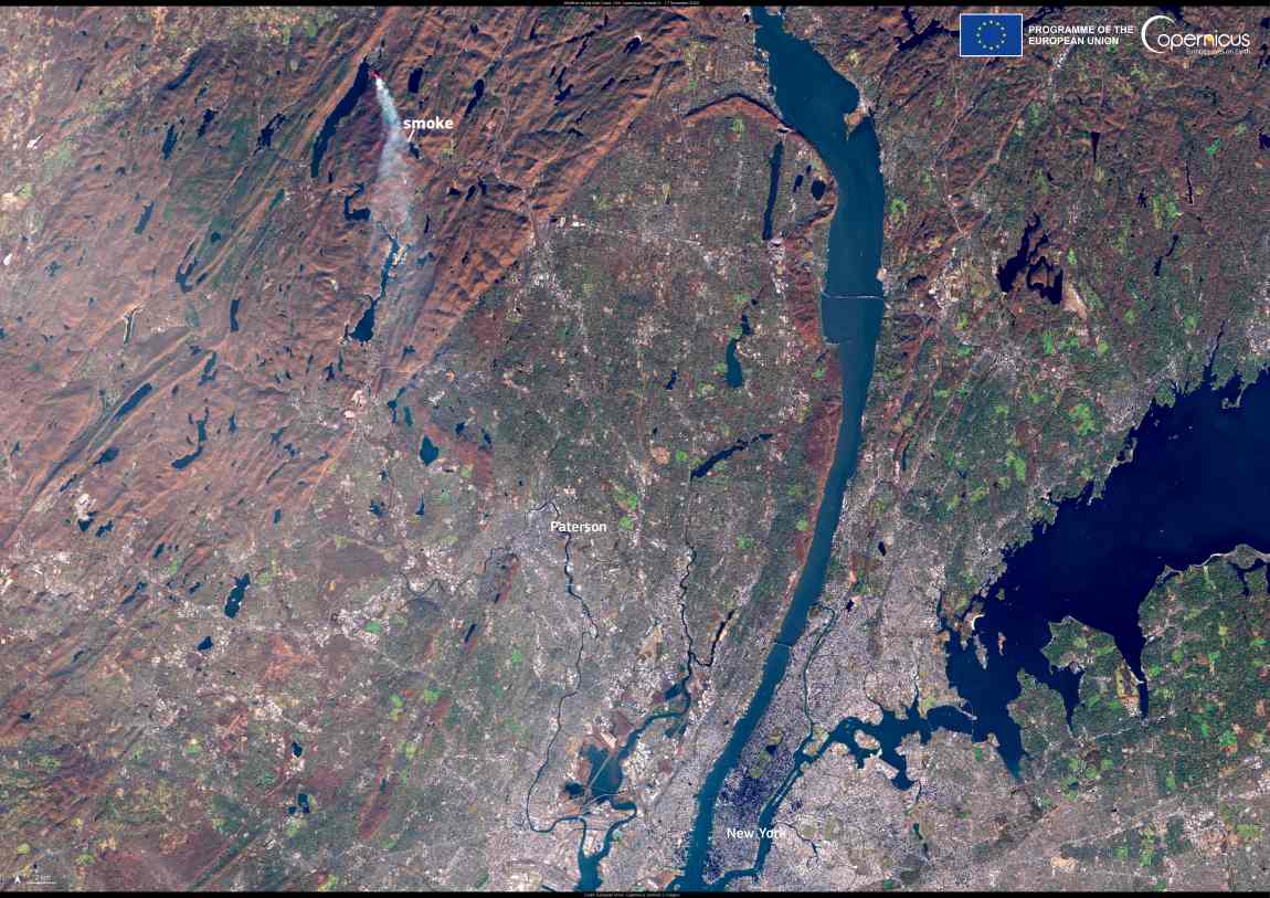
In November 2024, the northeastern US was hit by numerous wildfires, intensified by drought conditions and high winds. The Jennings Creek Fire on the New York-New Jersey border burned over 2,000 hectares, leading to the evacuation of about 160 people from their homes and the death of a park ranger.
In the New England region, states such as Massachusetts and Connecticut also faced a significant increase in wildfires, with hundreds of blazes reported and air quality advisories issued for affected areas.

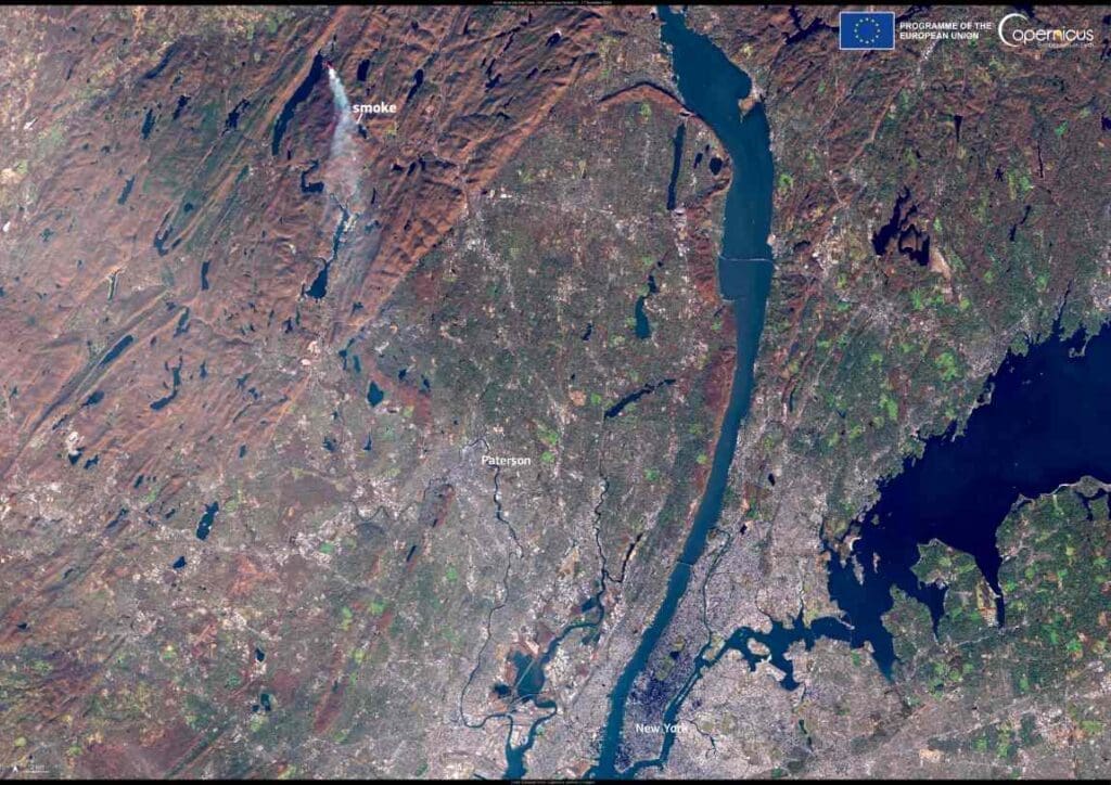
The Jennings Creek Wildfire is visible in this image acquired by one of the Copernicus Sentinel-2 satellites on 17 November 2024.
Open data provided by the Copernicus Sentinel satellites is key to monitoring and mapping the extent and effects of global wildfires, informing damage assessments and supporting management operations.
Featured image credit: European Union, Copernicus Sentinel-2 imagery


