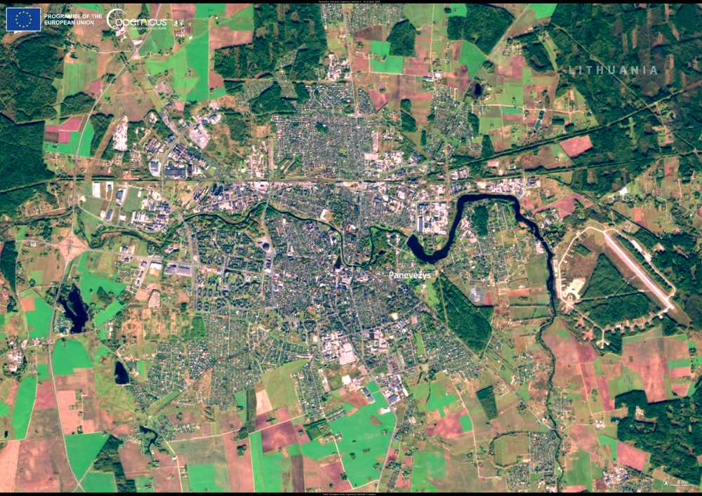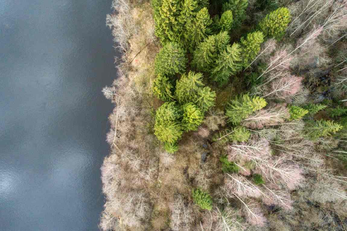
As climate change accelerates sea-level rise, coastal forests face an escalating risk of being overtaken by marshes and open waters.
A recent study by North Carolina State University and the United States Geological Survey (USGS) introduces satellite-based monitoring as a potential tool for protecting these vulnerable ecosystems. By identifying areas undergoing “regime changes” – transformations from forested regions to marsh or open water – satellite imagery could help conservationists make strategic, targeted interventions.
The study’s findings, published in Ecosystems, reveal that satellite-based metrics can track early signs of ecological transitions, empowering researchers to better predict which areas may need urgent conservation.

“We know that these coastal ecosystems are changing, and it’s hard to predict where and when the change is going to happen,” said Marcelo Ardón, associate professor at NC State and co-author of a paper on the study. “Through remote sensing, you can get a trajectory of where an area is going. That way, you can identify which areas might be better to put funding into.”
Researchers initially explored whether satellite data could detect early-warning signals in coastal wetlands, an approach used in other ecosystem studies. While the data was occasionally successful, it also returned numerous false positives and negatives, leading the team to refocus their method.
By applying a metric called the Normalized Difference Vegetation Index (NDVI), researchers could effectively assess changes in vegetation health across forested areas, marshes, and open water. The NDVI tool measures greenness by capturing the extent of red light plants absorb and near-infrared light they reflect, offering insights into vegetation health and density.
This nuanced approach revealed substantial differences in regime change speeds, even among nearby areas. Melinda Martinez, USGS research ecologist and the study’s lead author, noted the varying rates of transformation.
“In some areas where regime change was happening quickly, the transitions from forest to marsh or even open water happened within the span of five to six years,” she said. “But then in other areas, sometimes places within the same site, it would happen over much longer periods of time.”
The research provides a compelling case for using NDVI as a monitoring tool, allowing conservation funds to be allocated more efficiently to areas showing early signs of transformation.
“If an area might not need help, or if it is just too far into the regime change to pull it back – that in turn can help allocate those limited conservation dollars where they will make the most difference,” Ardón said. This targeted approach could be invaluable for coastal forest preservation efforts, especially as rising sea levels reshape the coastlines.
Journal Reference:
Martinez, M., Ardón, M., & Gray, J., ‘Detecting Trajectories of Regime Shifts and Loss of Resilience in Coastal Wetlands using Remote Sensing’, Ecosystems (2024). DOI: 10.1007/s10021-024-00938-5
Article Source:
Press Release/Material by North Carolina State University
Featured image credit: wirestock | Freepik