Ireland, EU – Along the coast of Ballyheally, Ireland, sea levels have risen 20 centimetres since the 19th century. Higher levels have led to storm surges, which increase the rate of coastal erosion.
In this part of Ireland, which has a soft sediment coast that is particularly vulnerable to erosion, coastal buildings are being threatened as sea levels continue to rise. One couple’s home, which has been in their family for 200 years, is especially at risk.

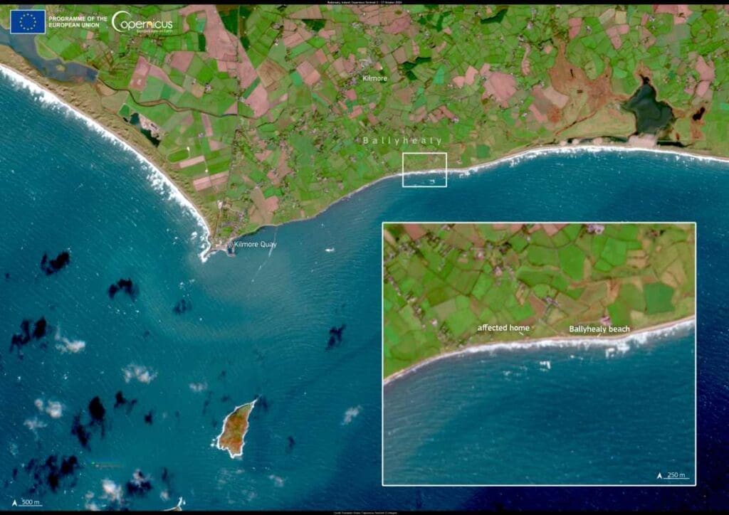
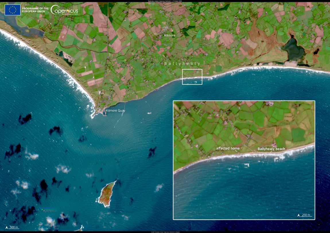
The Ballyheally coast is visible in this image acquired on 17 October 2024 by one of the Copernicus Sentinel-2 satellites. When zooming in, the affected home can be seen on the shoreline.
The Copernicus Coastal Hub is a key resource for Earth Observation data and value-added information on European coastal zones, which are useful for supporting sustainable management of these important areas.
Featured image credit: European Union | Copernicus Sentinel-2 imagery


