The European Space Agency’s (ESA) EarthCARE satellite, launched in May 2024, has now fully activated its atmospheric lidar, the ATLID.
As the last of four advanced instruments onboard, ATLID offers unprecedented detail on the vertical distribution of aerosols and clouds in the Earth’s atmosphere. This joint mission with the Japan Aerospace Exploration Agency (JAXA) marks a milestone in accurately measuring clouds, aerosols, and their effects on Earth’s energy balance.
Equipped with cloud profiling radar, broadband radiometer, multispectral imager, and atmospheric lidar, EarthCARE is designed to collect comprehensive data.

The lidar system measures aerosols – tiny particles from natural and human sources – by emitting ultraviolet light pulses and analyzing their reflection from atmospheric particles. The combination of EarthCARE’s instruments will provide a deeper understanding of how aerosols and clouds interact with solar radiation and thermal energy, vital for tracking climate change.
First results and ground campaigns enhance data accuracy
In August 2024, EarthCARE began delivering its first data. Initial images captured by ATLID showed a diverse range of atmospheric phenomena, from Polar Stratospheric Clouds over Antarctica, which play a role in ozone depletion, to plumes of smoke from wildfires in Canada.
“The wealth of data and detailed insight into the structures of the atmosphere are absolutely impressive,” said Ulla Wandinger, a leading researcher on the ATLID instrument.
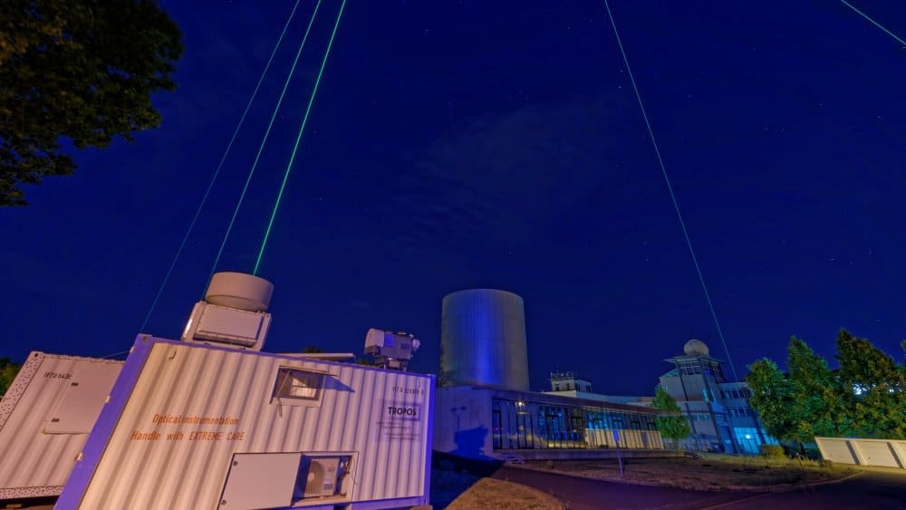
To ensure the highest possible accuracy in interpreting satellite data, a large-scale measurement campaign coordinated by the Leibniz Institute for Tropospheric Research (TROPOS) is underway. Around 50 ground stations from the European ACTRIS network are involved in these efforts, comparing data from EarthCARE with ground and airborne measurements. A German research aircraft, HALO, is conducting validation flights in the Atlantic and Europe as part of the HALO-PERCUSION mission.
This initiative will support EarthCARE’s role in advancing climate science, providing essential data for more accurate models of how clouds and aerosols influence Earth’s climate.
Journal Reference:
Laj, P., et al. ‘Aerosol, Clouds and Trace Gases Research Infrastructure (ACTRIS): The European Research Infrastructure Supporting Atmospheric Science’, Bulletin of the American Meteorological Society 105(7), E1098–E1136 (2024). DOI: 10.1175/BAMS-D-23-0064.1
More information:
ESA (EarthCARE profiles atmospheric particles in detail, 21/08/2024)
Article Source:
Press Release/Material by Leibniz Institute for Tropospheric Research (TROPOS)
Featured image: The ground stations of the European research infrastructure ACTRIS play an important role in calibrating the data from the EarthCARE satellite: they have been established and expanded in recent years to analyse aerosol particles and clouds using remote sensing instruments such as lidar and radar. Around 50 stations in Europe and overseas are involved in the atmo4ACTRIS measurement campaign. Credit: Tilo Arnhold | TROPOS


