By California Institute of Technology (Caltech)
Caltech researchers have developed a new method to measure soil moisture in the shallow subterranean region between the surface and underground aquifers. This region, called the vadose zone, is crucial for plants and crops to obtain water through their roots. However, measuring how this underground moisture fluctuates over time and between geographical regions has traditionally relied on satellite imaging, which only gives low-resolution averages and cannot penetrate below the surface. Additionally, moisture within the vadose zone changes rapidly—a thunderstorm can saturate a region that dries out a few days later.
The new method relies upon seismic technology that normally measures how the ground shakes during earthquakes. However, it can also detect the vibrations of human activity, like traffic. As these vibrations pass through the ground, they are slowed down by the presence of water—the more moisture, the slower the vibration moves. The new study measures the water content in the vadose zone through seismic rumblings from everyday traffic.
The research is a collaboration between the laboratories of hydrologist Xiaojing (Ruby) Fu, assistant professor of mechanical and civil engineering; and seismologist Zhongwen Zhan, professor of geophysics.
A paper describing the work appears in the journal Nature Communications on August 5.
The new method is based on a technique pioneered in the Zhan lab, called distributed acoustic sensing (DAS). With this technique, lasers are pointed into unused underground fiber-optic cables (like the kind that provides internet). As a seismic wave, or any kind of vibration, passes through the cable, the laser light bends and refracts. Measuring the wiggles in this laser light gives researchers information about the passing wave, making the 10-kilometer cable equivalent to a line of thousands of conventional seismic sensors.
In the wake of the 2019 magnitude 7.2 earthquake in Ridgecrest, California, Zhan set up a DAS array on a nearby cable to measure aftershocks. In collaboration with Fu, the team quickly realized that the array could also be used to measure how everyday underground vibrations change depending on soil water content. Over five years, the team collected data and created models to illustrate how moisture in the vadose zone varies over time. They found that during the historic drought in California from 2019 to 2022, moisture in the vadose zone decreased significantly at a rate of 0.25 meters per year, exceeding the mean average precipitation.

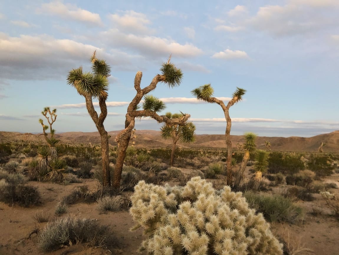
“From the top 20 meters of soil in the Ridgecrest region, we can extrapolate to the entire Mojave desert,” says Yan Yang, a graduate student in geophysics and co-first author of the study. “Our rough estimation is that every year, the Mojave vadose zone loses an amount of water equivalent to the Hoover Dam. Over the drought years of 2019 through 2022, the vadose zone has been drier and drier.”
The ability to measure vadose zone moisture in real time is crucial for managing water use and conservation efforts. Next, the team intends to deploy the technology in regions other than the desert.
“We know this method works really well for this particular site,” Fu says. “Many other interesting regions with the same climate could have different hydrological processes, like central California, where farming operations withdraw water, but the region also receives snowmelt from the Sierra Nevada mountains.”
Seismological instruments have never been used to measure soil moisture at such a large scale for such an extended and continuous timespan. The project was made possible through funding and support from Caltech’s Resnick Sustainability Institute (RSI).
“This is exactly the type of interdisciplinary, creative science that the Resnick Institute was designed to support, bringing together colleagues that otherwise wouldn’t have worked together, and in that collaboration develop new tools that can help measure and manage water availability more sustainably,” says Neil Fromer, Executive Director of Programs with the Resnick Sustainability Institute.
Zhichao Shen (PhD ’22), now of Woods Hole Oceanographic Institution, is a co-first author of the paper with Yang. In addition to Fu and Zhan, co-authors are Kyra H. Adams of the Jet Propulsion Laboratory, which Caltech manages for NASA; and Caltech DAS scientist Ettore Biondi. Funding was provided by the National Science Foundation and the RSI.
Journal Reference:
Zhichao Shen, Yan Yang, Xiaojing Fu, Kyra H. Adams, Ettore Biondi & Zhongwen Zhan, ‘Fiber-optic seismic sensing of vadose zone soil moisture dynamics’. Nature Communications 15, 6432 (2024). DOI: 10.1038/s41467-024-50690-6
Article Source:
Press Release/Material by Caltech
Featured image credit: wirestock | Freepik


